About CROSS II
CROSS II
The Sentinels for Common Agricultural Policy
CROSS II project aims at providing to the European and national stakeholders of the CAP validated algorithms, products, workflows and best practices for agriculture monitoring relevant for the management of the CAP.
The project will pay particular attention to provide evidence how Sentinel derived information can support the modernization and simplification of the CAP in the post 2020 timeframe.
Partners
Data Sources

Sen4CAP
The Sentinels for Common Agricultural Policy
Sen4CAP project aims at providing to the European and national stakeholders of the CAP validated algorithms, products, workflows and best practices for agriculture monitoring relevant for the management of the CAP. The project will pay particular attention to provide evidence how Sentinel derived information can support the modernization and simplification of the CAP in the post 2020 timeframe.
Sen4CAP
Supervised Classification
Supervised classification is based on the idea that a user can select sample pixels in an image that are. representative of specific classes and then direct the image processing software to use these training. sites as references for the classification of all other pixels in the image. Supervised classification is the technique most often used for the quantitative analysis of remote sensing image data. At its core is the concept of segmenting the spectral domain into regions that can be associated with the ground cover classes of interest to a particular application.
Sentinel-2
Earth Observation
product
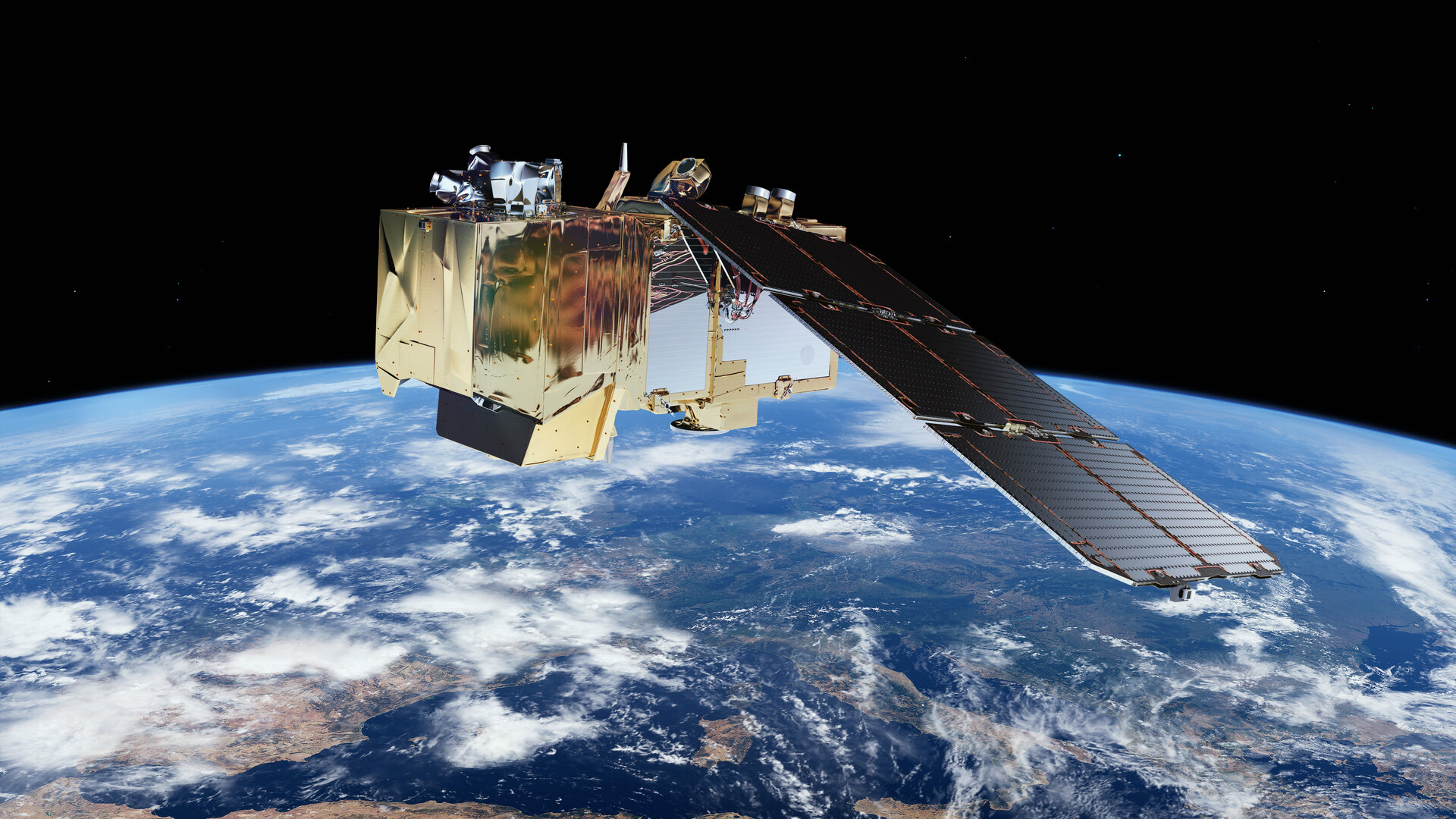
Sentinel-2 is carrying a range of technologies, such as multi-spectral imaging instruments for land, ocean and atmospheric monitoring. It’s delivering high-resolution optical images for land monitoring, emergency response and security services. The mission is based on a constellation of two identical satellites in the same orbit, 180° apart for optimal coverage and data delivery. Together they cover all Earth’s land surfaces, large islands, inland and coastal waters every five days at the equator. The mission mainly provides information for agricultural and forestry practices and for helping manage food security. Satellite images can be used to determine various plant indices such as leaf area chlorophyll and water content indexes.
Sentinel 1
Earth Observation
Data sources
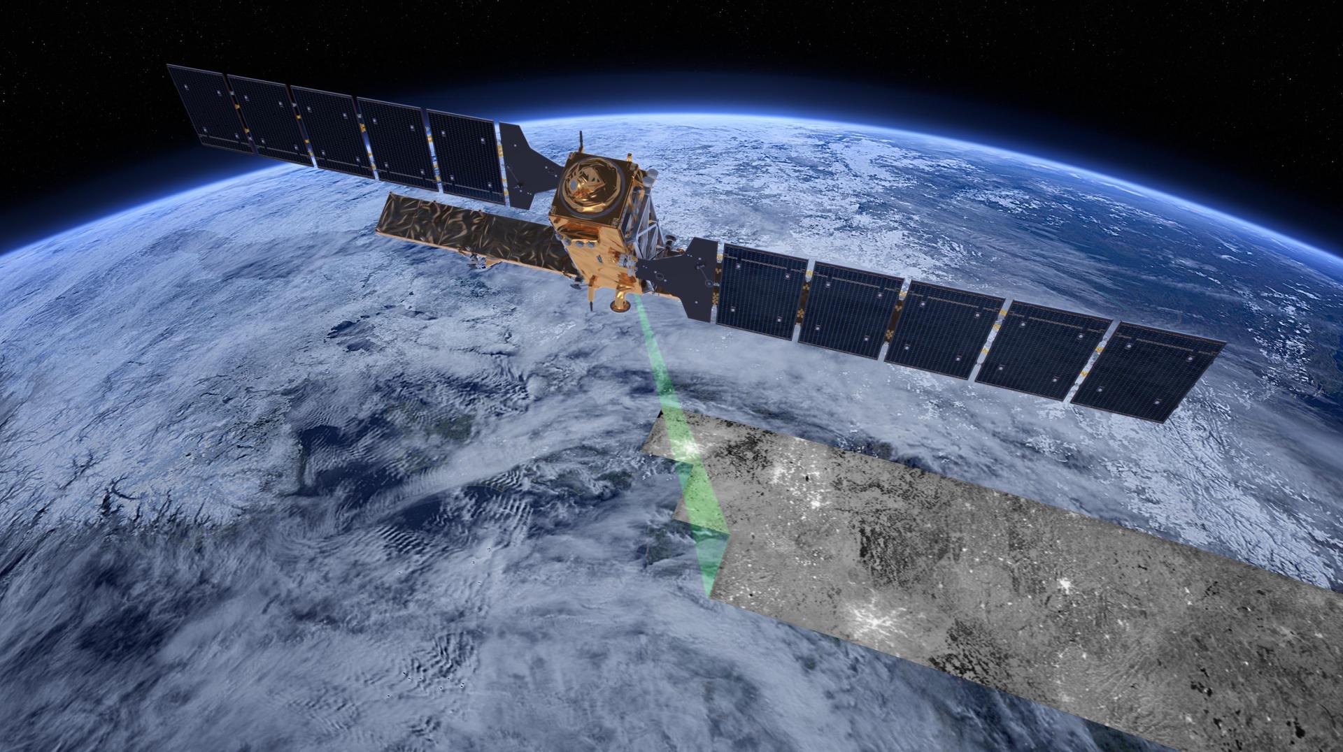
The Sentinel-1 imagery is provided by two polar-orbiting satellites, carries a 12 m-long advanced synthetic aperture radar (SAR), working in C-band. The advantage of radar as a remote sensing tool is that it can image Earth’s surface through rain and cloud, and regardless of whether it is day or night. Main applications are for monitoring sea ice, oil spills, marine winds, waves & currents, land-use change, land deformation among others, and to respond to emergencies such as floods and earthquakes. The ‘radar interferometry’ remote sensing technique combines two or more radar images over the same area to detect changes occurring between acquisitions. The identical satellites orbit Earth 180° apart and at an altitude of almost 700 km, offering a global revisit time of six days. Sentinel-1’s radar can operate in four modes: Sentinel-1’s radar can operate in four modes: Interferometric Wide Swath (IW), Extra Wide Swath (EW), Wave (WV) and Stripmap (SM).
CROSS II partners


About
The project entitled as “identification of arable CROps and CAP monitoring in cypruS through the adoption of Sen4CAP” in short CROSS II, is submitted by the Cyprus University of Technology (Prime Contractor), the Cyprus Agricultural Payments Organisation (sub-contractor 1), Novatex Solutions (sub-contractor 2) and CELLOCK Ltd. (sub-contractor 3) at the “Fourth Call for Outline Proposals under the Plan for European Cooperating States (PECS) in Cyprus”. CROSS II project aims to build on the work carried out previously during its predecessor project CROSS (CY3_11-4000131190) towards the adoption of Sen4CAP for CAP monitoring in Cyprus, by the local Common Agriculture Policy (CAP) monitoring and paying agency, that participates actively in the present project. Following the identification of the difficulties that arise from the specificities of the agricultural sector in Cyprus, such as the terrain variability and parcel sizes, that was carried out in CROSS, the correlation between the National Land Parcel Identification System (LPIS), the crop types and growth stages will be studied further.
Objective 1
Semantic mapping and normalization between CAPO crop codes and crop labels (WP2)
Objective 2
Pilot application of Sen4CAP at Cyprus level (WP3)
Objective 3
Crop type classification of non-eligible Sen4CAP parcels through the use of drones (WP4)
Objective 4
Adoption of Sen4CAP for CAP monitoring in Cyprus (WP5 & WP6)
Objective 5
Knowledge transfer of the use of Sen4CAP to the Cypriot Paying Agency (WP6)
Get in Touch
Send us you message and we will get back to you! +357 25002548
Cyprus University of Technology Department of Civil Engineering & Geomatics, Saripolou 2-6, 3036 Achilleos 2 Building, 3rd Floor, Lemesos, Cyprus

